Alberta Explores Three Oil Pipeline Routes Through Northern B.C.
Government considering export pipeline with multiple coastal port options, documents obtained by CBC show.
The day's top stories, food & events — every morning at 7. Unsubscribe anytime.
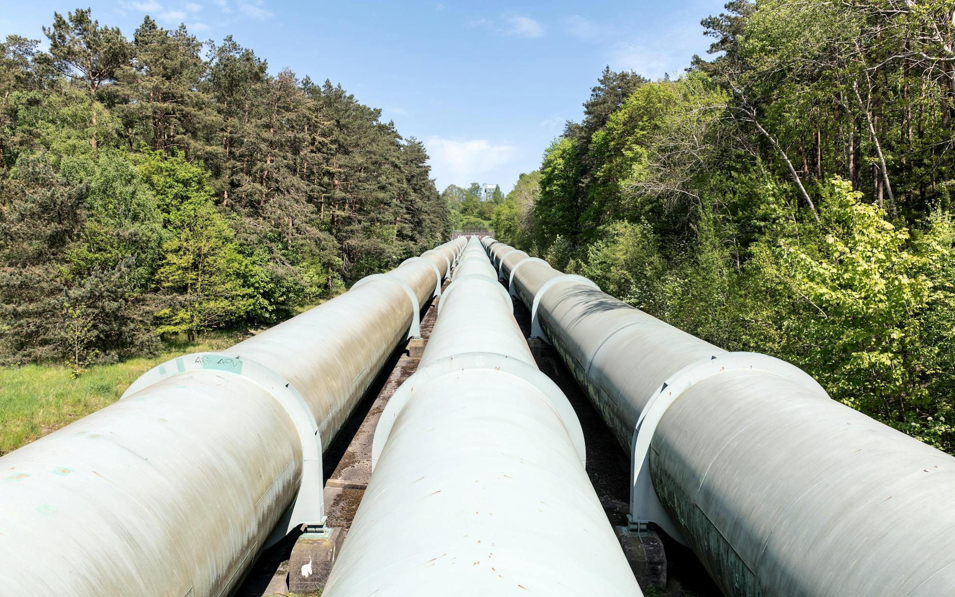
Alberta is seriously mapping out oil export pipelines, with newly obtained documents revealing three distinct routes through northern British Columbia and six potential coastal ports.
The provincial government, aiming to export one million barrels of oil per day with construction beginning as early as 2027, has been showing local leaders these route options during private consultations this spring.
One pathway begins near Fort McMurray and ends near Observatory Inlet, a remote area over 800 kilometres north of Vancouver. The other two routes start near Fort Saskatchewan (northeast of Edmonton) and split between Nasoga Gulf, Kitimat, Prince Rupert, Stewart, and Grassy Point.
All proposed ports sit in areas currently prohibited by federal oil tanker moratorium.
Heather Exner-Pirot, a special advisor on energy to the Business Council of Canada, reviewed the maps and noted the routing choices suggest political over economic calculation. "This is a strategic route for political reasons, not for economic reasons. So it will be a bit more expensive, but they must expect that will save them time and money on the back end," she said.
It's unclear which route the province will ultimately choose. Recent consultations have shown general corridors on maps rather than specific routes, suggesting the final decision may come later.
The government has committed to submitting a proposal to the federal Major Projects Office by July 1. "Alberta's government is still finalizing our proposal for a one-million-barrel-per-day pipeline to Canada's West Coast for submission to the Major Projects Office by July 1," said Sam Blackett, Premier Smith's press secretary.