Calgary student's climbing app guides rock climbers through risky mountain routes
Ben Pearman's ThreeTopo uses drone photos and 3D mapping to give climbers turn-by-turn directions on challenging peaks like Mount Yamnuska.
The day's top stories, food & events — every morning at 7. Unsubscribe anytime.
Ben Pearman, a 29-year-old master's student in computer science at the University of Calgary, built an app that could keep rock climbers from getting lost on some of Alberta's most treacherous peaks.
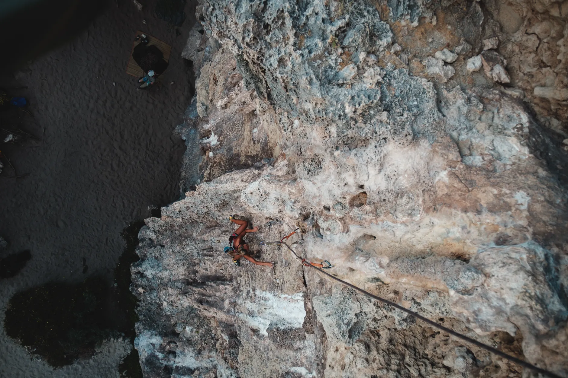
ThreeTopo grew out of a practical problem. Pearman's climbing group was trying to figure out the safest way up the Red Shirt route on Mount Yamnuska's south face — a sheer 240-metre limestone wall in the Bow Valley south of Calgary. Instead of relying on cryptic, decades-old typewritten notes that earlier climbers had left behind, Pearman used a drone to shoot detailed photos of the rock face, then created a three-dimensional digital copy he could study.
The app takes that approach and packages it into a tool climbers can use one-handed at safe points during a climb. It examines potential routes and delivers turn-by-turn navigation: "You'll want to start traversing left from the anchor. Once you hit the corner, start heading upwards until you reach a bolt. As soon as you get to that bolt, you need to traverse hard left, passing a pin to reach an anchor on the face."
Traditional rock climbing involves a lead climber placing temporary removable gear into the rock, clipping the rope to catch a fall, while a second climber removes those devices on the way up. Miles Abesdris, 38, tested the app with a group of experienced climbers. "The first little while, (trad climbing) is somewhat horrifying, but you kind of become very comfortable there after a while," Abesdris said. He added that navigating by feel alone has limits: "Your hands and feet are great, but you've got to know where to go, right? There's weaknesses in the rock. And you kind of follow the weaknesses and you kind of get a Spidey sense of where to go over the years — but sometimes you can be wrong."
Pearman said rescue helicopters are common on Mount Yamnuska. "I know a bunch of people who have had to be rescued by helicopter. Everyone I know has gotten off route at some time." The scale of the mountain works against climbers. "You get up there and the whole thing looks sort of like a planar surface from far away, like one big sheer cliff. The scale just swallows you. And you're like, 'Oh man, it's really easy to get lost here.'"
Pearman plans to make ThreeTopo publicly available and is hoping other climbers will contribute detailed data on popular routes across North America, from British Columbia to Nevada. The Red Shirt route, he calls the crown jewel of climbing in the Canadian Rockies.
The facts
Who created ThreeTopo?
Ben Pearman, a 29-year-old master's student in computer science at the University of Calgary, built ThreeTopo.
How does ThreeTopo work?
The app uses drone photos and 3D digital mapping to create turn-by-turn navigation instructions for rock climbers, guiding them through specific route sequences on challenging peaks.
What mountain inspired the app's development?
Mount Yamnuska's Red Shirt route, a 240-metre limestone wall in the Bow Valley south of Calgary, prompted Pearman to develop ThreeTopo after his climbing group needed better guidance than decades-old typewritten notes.
Where does Pearman plan to expand ThreeTopo?
Pearman is hoping other climbers will contribute detailed route data to ThreeTopo across North America, from British Columbia to Nevada, before making the app publicly available.
