NCC green-lights Confederation Heights redevelopment plan
The National Capital Commission approved a master plan to transform the area near Heron Road and Riverside Drive into a mixed-use community with up to 16,000 residential units over 25 years.
The day's top stories, food & events — every morning at 7. Unsubscribe anytime.
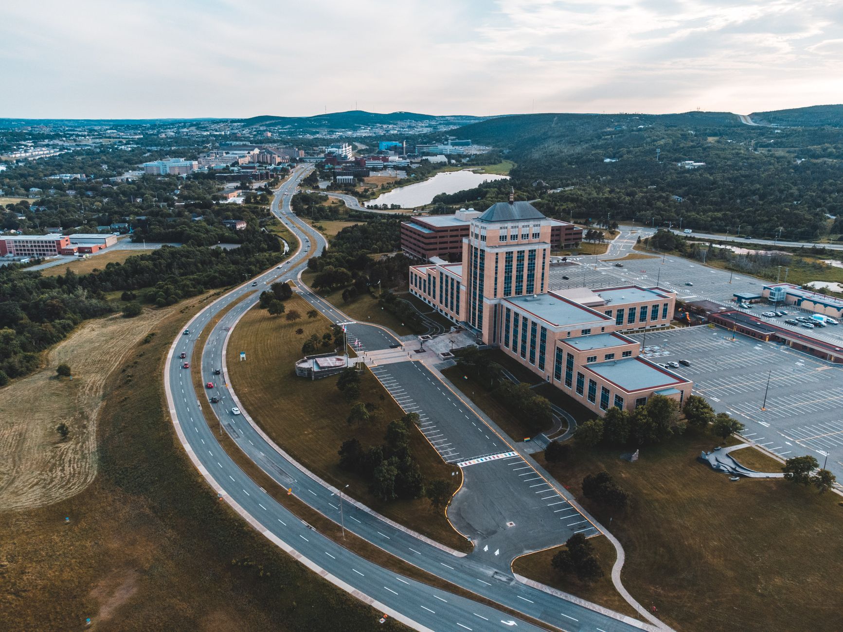
The National Capital Commission has approved a major redevelopment plan for Confederation Heights, a federal employment area bounded by the Rideau River, Data Centre Road, and Brookfield Road.
The plan could bring up to 16,000 residential units in buildings ranging from three to 40 storeys, plus retail, schools, a recreational complex near Billings Bridge transit hub, a new transit plaza integrating the planned Baseline transitway with the Mooney's Bay O-Train station, and a culture and entertainment district.
Development is expected to unfold over the next 25 years across approximately 49 net hectares of developable land. Forecasts suggest 150 to 300 housing units per net hectare, with at least 20 per cent allocated for affordable housing and about 10 per cent for larger units.
The site currently includes three federal heritage properties: the former CBC building at 1500 Bronson Avenue, the former Canadian Revenue Agency building at 875 Heron Road, and the Sir Charles Tupper Building at 2720 Riverside Drive. The plan includes the possibility of adaptive reuse of all three buildings or portions thereof, with design guidelines under development to address how new development should integrate with the heritage buildings and their landscapes.
Canada Lands Company intends to purchase the designated parcels to implement the master plan. The NCC will finalize design guidelines this summer, with the city expected to draft a secondary plan and zoning amendments this fall.