Thunderstorms with tornado risk and baseball-sized hail target central Alberta today
High-risk severe weather alert covers Red Deer, Lloydminster, and the QEII corridor with wind gusts to 110 km/h and hail up to 6 centimetres.
The day's top stories, food & events — every morning at 7. Unsubscribe anytime.
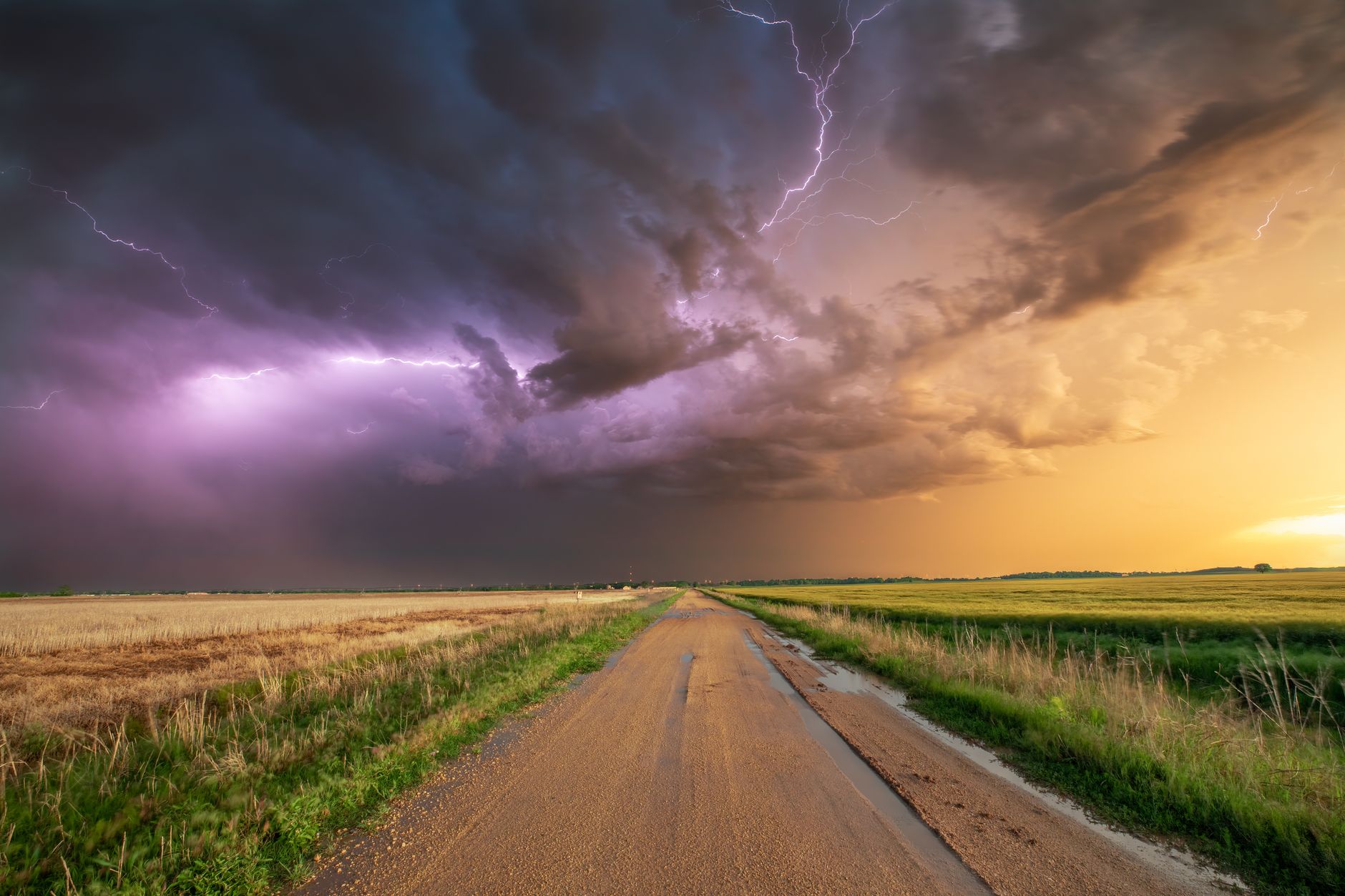
Large chunks of Alberta face severe thunderstorm risk on Saturday, July 4, with a high-risk zone hugging central Alberta and crossing into Saskatchewan.
According to Environment and Climate Change Canada's Storm Prediction Centre, a high-risk area covers spots like Red Deer, Lloydminster, and a large section of the QEII corridor. Weather risks in that zone include wind gusts of up to 110 kilometres per hour, hail up to six centimetres in size (the equivalent of a baseball), a tornado risk, and up to 50 millimetres of rain. Travelers heading to the Calgary Stampede should remain weather aware this afternoon.
Edmonton and Calgary fall under a moderate weather risk. That zone faces wind gusts up to 90 kilometres per hour, hail up to four centimetres (golf-ball sized), and around 30 millimetres of rain.
Elsewhere in the province—including Grande Prairie, Fort McMurray, Hinton, Edson, High Level, Peace River, Banff, and Jasper—a lower-tier risk includes wind gusts up to 70 kilometres per hour, hail up to one centimetre, and up to 20 millimetres of rain.
Current weather watches and warnings are available on the ECCC website.