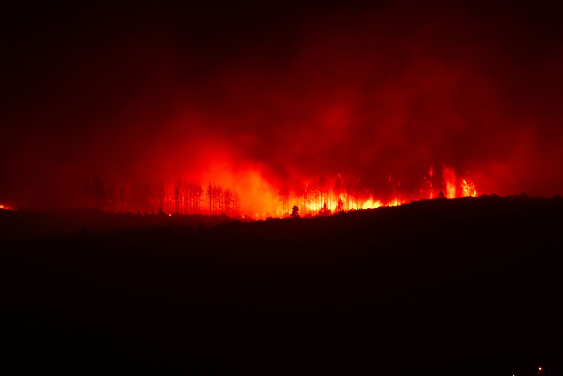
Saw Creek wildfire near Lytton grows to 704 hectares
The fire remains out of control Sunday as evacuation orders expand and Highway 1 closure continues between Boston Bar and Cornwall Road.
The day's top stories, food & events — every morning at 7. Unsubscribe anytime.
The Saw Creek wildfire near Lytton has grown to 704 hectares as of Sunday, June 21, the BC Wildfire Service reported at 10:46 p. m. The fire, which was 600 hectares on Saturday, June 20, remains out of control.
An incident management team has been assigned with 135 BCWS firefighting personnel, nine helicopters, and 47 structure protection personnel. Fire crews and aircraft are focusing efforts on securing the perimeter of nearby communities and establishing control lines along the north and south flanks where it is safe to do so.
Fire activity decreased overnight due to cooler temperatures and light winds, but conditions are expected to worsen Sunday. Temperatures are forecast to reach the mid-twenties to low thirties Celsius with relative humidity trending lower, creating potential for increased fire activity throughout the day. Light northeast winds are expected.
The fire is burning at Rank 1 to 3. Evacuation orders and alerts have expanded across multiple jurisdictions. The Village of Lytton expanded its evacuation order on June 20 to include properties east of Highway 1 and south of Kumsheen ShchEma-meet School.
The Lytton First Nation issued evacuation orders for Klahkamich IR 17 and Kitzowitz IR 20, with evacuation alerts for additional areas. The Siska Indian Band issued an alert for Zacht 5 and Siska Flat areas. Emergency Support Services Reception Centres are operating at Battlefield Community Hall on Lytton First Nation and at McArthur Island Park in Kamloops for evacuees.
Highway 1 remains closed in both directions between Boston Bar Station Road and Cornwall Road for 117 km. Drivers are advised to use Highway 5 and Highway 97C as alternate routes. The fire is suspected to be human caused.