Ring of Fire drives severe thunderstorms across the GTA this week
A meteorologist explains the clash of air masses intensifying storms, while heat and humidity fuel the instability.
The day's top stories, food & events — every morning at 7. Unsubscribe anytime.
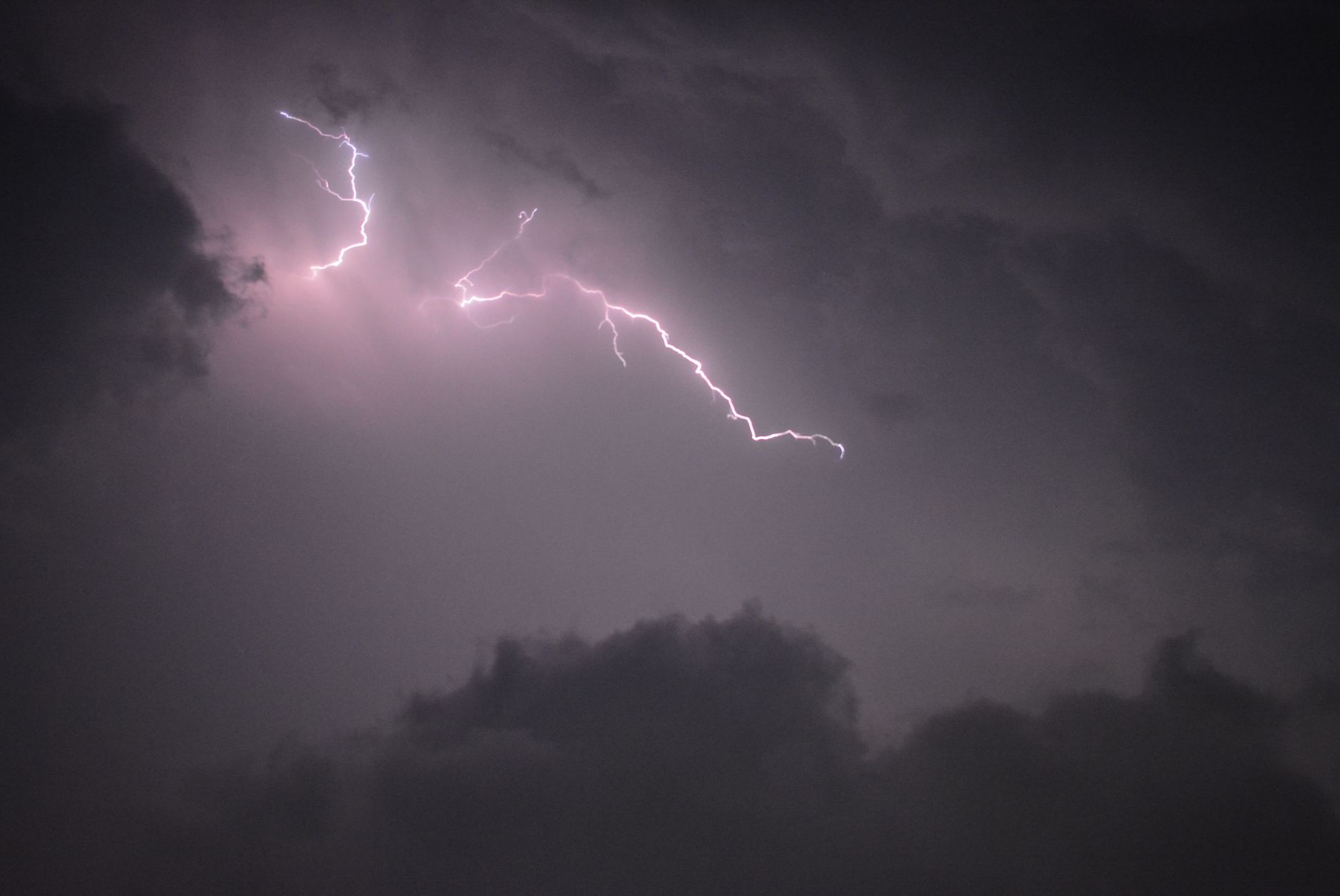
A clash between hot, humid air to the southwest and cooler air pushing south is creating what meteorologist Doug Gillham calls a "Ring of Fire"—a boundary where frequent rounds of severe thunderstorms are tracking across the GTA.
"We are near the battleground between hot and humid conditions to the southwest of our region and cooler conditions to the north, which are pushing south into the region," Gillham, a meteorologist with The Weather Network, said. "The battleground around the edge of the hot and humid conditions is often referred to as the 'Ring of Fire' since we tend to see frequent rounds of thunderstorms tracking along the boundary."
Rainfall across southern Ontario has been highly uneven this summer. Some areas have experienced devastating flooding while Toronto has largely been spared the most intense storms. Scugog, northeast of Toronto, was hit by baseball-sized and golf-ball-sized hail on August 8. Towns including St. Catharines and Niagara Falls have seen flooding in thousands of homes due to extreme rainfall over multiple days.
Gillham said heat and humidity are the key fuel for thunderstorm development and intensity. He cautioned that wildfire smoke drifting south is mainly causing haze and may lower temperatures slightly but is not contributing to the heavy rain or stronger storms.
On the broader question of why this summer has been so active, Gillham noted there is no single explanation. A rapidly strengthening El Niño and the resulting stronger jet stream may be a bigger factor than climate change, which could produce conditions that suppress thunderstorms through stronger heat domes.
August has been especially wet for both Toronto and the rest of southern Ontario, with Environment Canada issuing multiple alerts due to extreme weather.
The facts
What is the 'Ring of Fire' in the GTA right now?
The 'Ring of Fire' is a boundary between hot, humid air to the southwest and cooler air pushing south from the north, where frequent rounds of severe thunderstorms are tracking across the GTA, according to meteorologist Doug Gillham.
What caused hail in Scugog on August 8?
Scugog, northeast of Toronto, was hit by baseball-sized and golf-ball-sized hail on August 8, though the article does not specify the cause beyond the broader atmospheric conditions described.
What areas near Toronto have experienced flooding this summer?
St. Catharines and Niagara Falls have seen flooding in thousands of homes due to extreme rainfall over multiple days, while Toronto has largely been spared the most intense storms.
