Severe thunderstorm watch issued for Montreal tonight
Environment Canada warns of heavy rain, localized flooding, and saturated ground across the region as storms move in.
The day's top stories, food & events — every morning at 7. Unsubscribe anytime.
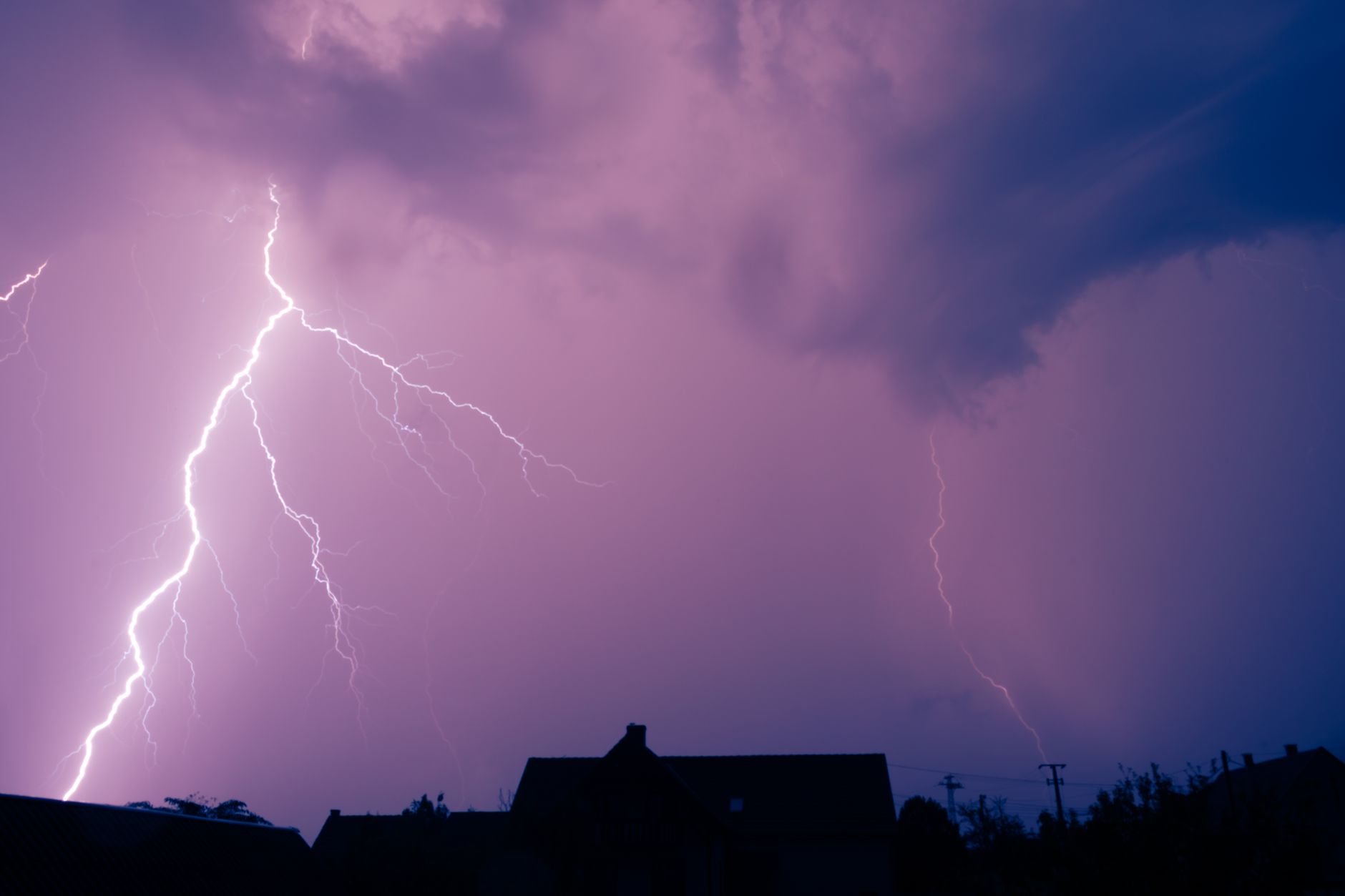
Environment and Climate Change Canada has issued a severe thunderstorm watch for the Montreal area tonight as conditions become favourable for repeated rounds of showers and thunderstorms capable of producing heavy rainfall, localized flooding, and reduced visibility. Forecasters say a few showers and thunderstorms are expected through the evening before gradually ending near midnight. The primary concern is the combination of recent rainfall and additional storms heightening flood risk across the region. "The ground has a reduced ability to absorb rain, especially in areas affected by heavy rain yesterday," Environment Canada said in its latest advisory. Heavy rain can quickly lead to flash flooding in low-lying areas, underpasses, and locations with poor drainage. Drivers should prepare for sudden reductions in visibility during downpours. The overnight low is expected to reach 15°C, with skies becoming partly cloudy after midnight and a lingering 40 per cent chance of showers. Weather is expected to improve through the week. Monday will begin mainly sunny before clouds increase early in the afternoon, with a 30 per cent chance of showers late in the day and a high of 23°C. Tuesday will bring sunny skies and a high of 25°C. Wednesday and Thursday will remain warm with highs around 25°C, before showers return overnight Thursday and more widespread showers are forecast Friday when temperatures cool to 21°C.