Severe thunderstorms with hail and tornado risk hit Alberta today
Environment Canada warns of damaging winds, large hail, and tornado potential across the province Friday.
The day's top stories, food & events — every morning at 7. Unsubscribe anytime.
Alberta is under threat of severe thunderstorms Friday with the risk of large hail and tornadoes, particularly in the Edmonton to Red Deer corridor and east central regions.
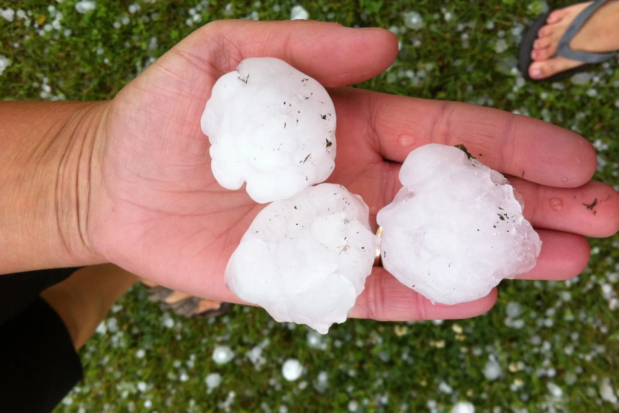
Environment and Climate Change Canada issued severe thunderstorm watches Friday morning for areas including Edmonton, Red Deer, Lloydminster, and Cold Lake. Wind gusts of 70 to 90 kilometres an hour are possible, along with hail up to five centimetres — about the size of a hen egg — and rainfall totals of 25 to 35 millimetres.
Calgary, Edson, and portions of northern Alberta face lower but still significant risk. Those areas could see wind gusts up to 70 kilometres an hour and hail of one to two centimetres. Conditions are favourable for storm development beginning late this morning, with thunderstorms expected to persist into the evening.
A second, less potent round of storms may affect the extreme southeastern corners of the province Saturday, June 6, bringing wind gusts up to 60 kilometres an hour.
Current watches and warnings are available on the ECCC website. If you're heading out, keep an eye on the sky.