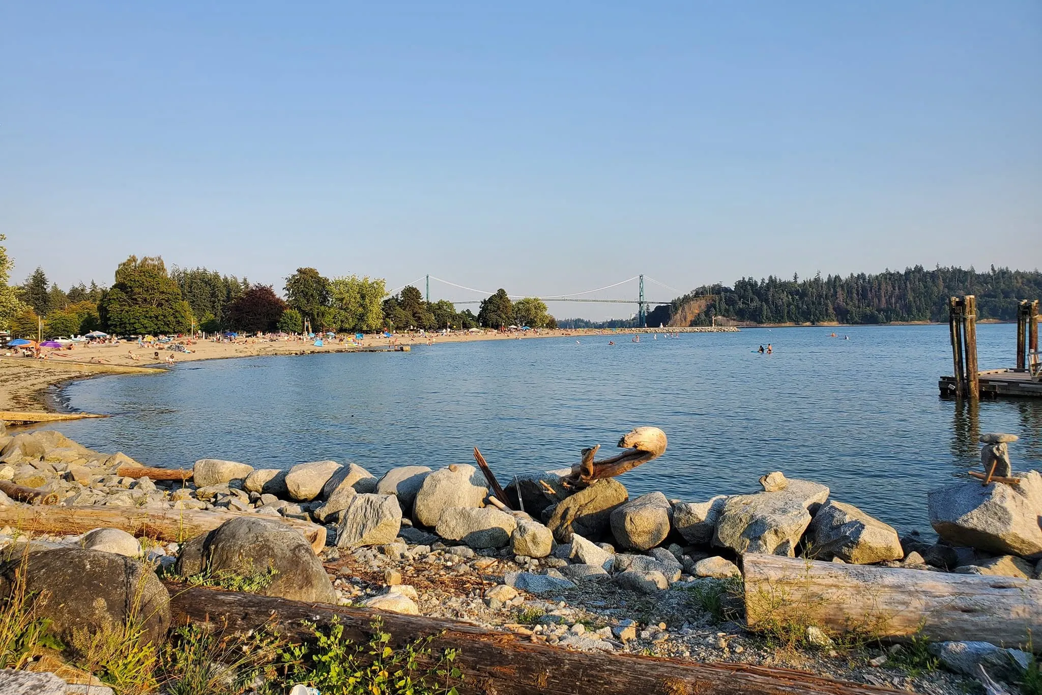
Heat records could fall before summer weather shifts
Metro Vancouver faces record-breaking temperatures Monday and Tuesday, with a dramatic cool-down expected mid-week as rain moves in.
The day's top stories, food & events — every morning at 7. Unsubscribe anytime.
Metro Vancouver could break heat records at the start of summer before a dramatic weather shift arrives mid-week.
Environment and Climate Change Canada is forecasting temperatures to climb to 32°C inland on June 24, and 31°C on June 25. With humidity factored in, the humidex could reach 36°C on Monday and 35°C on Tuesday, with UV indices rated as high.
The Fraser Valley specifically has a historic high of 31.7°C. Forecasters are calling for 32°C on Monday — meaning the region could break its record set decades ago.
"Today and tomorrow will be the warmest days of the week, but it will be the last bit of the ridge of high pressure that we've had the last few days," said Environment and Climate Change Canada meteorologist Jennifer Kowal. "On Wednesday, an upper trough will start moving across the province, which could cause showers or thunder showers."
By the weekend, a system moving in from the Pacific will bring cooler, wetter conditions. Daytime highs are forecast to drop to just 17°C on Friday, June 26, and Saturday, June 27, with overnight lows reaching 13°C on several days as showers and rain take over.