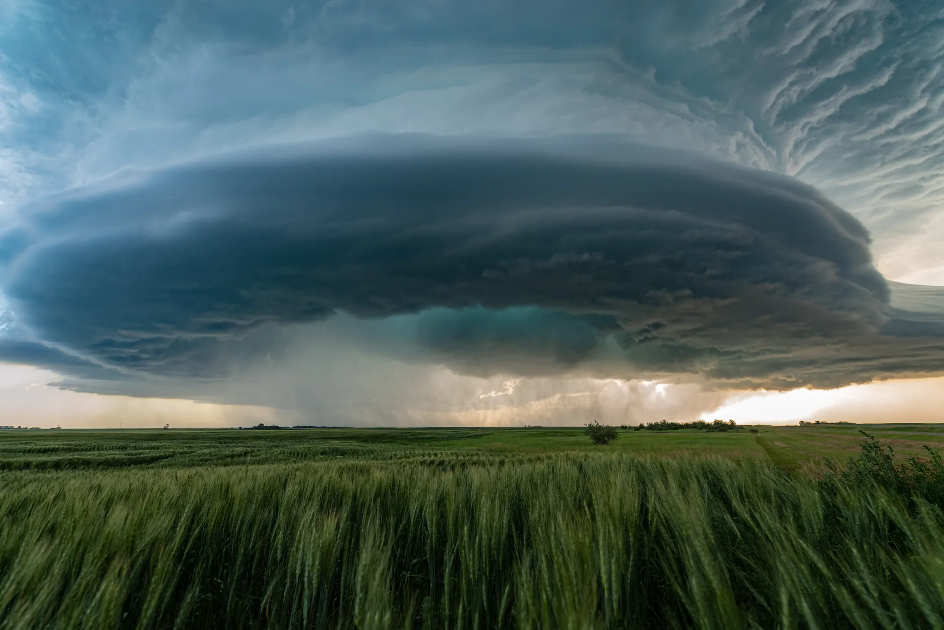
Severe thunderstorm watch issued for Edmonton as hail and tornado risk looms
Environment Canada warns of severe thunderstorms Wednesday afternoon and evening with potential for wind gusts up to 90 km/h, hail up to 4 centimetres, and possible tornadoes.
The day's top stories, food & events — every morning at 7. Unsubscribe anytime.
Update — July 25, 2026: Environment and Climate Change Canada has issued 124 tornado warnings across the country through July 22, 2025, the highest annual total since the agency began tracking data in 2017, according to the Northern Tornadoes Project. The increased warning rate reflects a deliberate strategy to prioritize early alerts over reducing false alarms, following a 2022 report that found the agency had been missing tornadoes and falling short on warning timing.
Environment Canada has issued a severe thunderstorm watch for Edmonton and surrounding areas Wednesday, July 15, with risks of damaging weather in the afternoon and evening.
A moderate risk zone encompassing Edmonton, Sherwood Park, Sylvan Lake, and Cold Lake includes potential for wind gusts up to 90 kilometres an hour, hail up to 4 centimetres in size (equivalent to a ping pong ball), and rainfall up to 40 millimetres. The possibility of tornadoes cannot be ruled out.
A higher-risk zone west and northwest of Edmonton — including Drayton Valley, Edson, Whitecourt, Mayerthorpe, and Swan Hills — faces even more severe threats: winds up to 110 km/h, hail up to 7 centimetres (baseball-sized), up to 50 millimetres of rain, and potential tornado formation.
The storm threat extends into overnight hours, with early Thursday forecasts showing a minor weather risk for Edmonton up to the Fort McMurray area, including wind gusts up to 80 km/h, hail up to 2 centimetres, and up to 40 millimetres of rain. Residents can monitor current watches and warnings on Environment and Climate Change Canada's website.
The facts
What's the hail risk in Edmonton on July 15?
Edmonton faces a moderate risk of hail up to 4 centimetres in size on July 15, 2026.
Which areas face the highest storm threat?
Drayton Valley, Edson, Whitecourt, Mayerthorpe, and Swan Hills face the highest-risk zone with potential winds up to 110 km/h, hail up to 7 centimetres, and possible tornadoes.
When does the storm threat continue?
The storm threat extends into overnight hours on July 15–16, 2026, with early Thursday forecasts showing minor weather risk for Edmonton up to the Fort McMurray area.
Ongoing coverage · Severe Weather Impacts Eastern Alberta
