Toronto braces for severe thunderstorms and extreme heat through Friday
Environment Canada warns of damaging winds up to 100 km/h, quarter-sized hail, and temperatures reaching 37°C as heat wave continues.
The day's top stories, food & events — every morning at 7. Unsubscribe anytime.
Toronto is facing severe thunderstorm warnings and an extended heat wave that will persist through Friday, with Wednesday and Thursday as the hottest days.
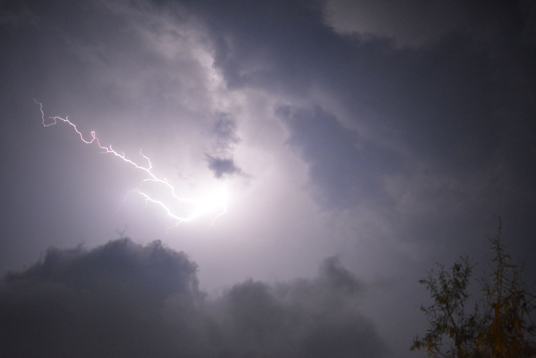
Environment Canada issued a yellow thunderstorm warning for the city as of 5:16 p.m. on Wednesday, tracking a severe storm that could produce damaging wind gusts up to 100 km/h, quarter-sized hail, and heavy rain exceeding 30 mm. A line of strong thunderstorms is approaching from Lake Huron and will track over the area into the evening. The agency warned of possible local power outages and risk of injury from lightning.
The heat warning remains in effect, with temperatures expected to reach 34 to 37°C on Wednesday and Thursday. Overnight lows of 21 to 25°C will provide little relief. The combination of heat and humidity could push the Air Quality Health Index into the high-risk category.
Environment Canada urged residents to check on older adults and vulnerable people multiple times a day. Signs of heat exhaustion include headache, nausea, dizziness, thirst, dark urine, and intense fatigue. The agency recommends drinking water often, using air conditioning or fans, limiting direct sun exposure, and scheduling outdoor activities during cooler parts of the day.