Heat peaks at 31°C Tuesday before weekend rain rolls in
Tuesday brings summer-like humidity; cooler, wetter conditions arrive by Friday as high-pressure ridge breaks down.
The day's top stories, food & events — every morning at 7. Unsubscribe anytime.
Metro Vancouver will feel summer heat midweek before a weather shift brings rain by the weekend.
Tuesday's forecast includes a coastal high of 23°C and an inland high of 29°C—but humidity will make it feel closer to 31°C inland, according to Environment Canada meteorologist Chloe Katsademas. Monday and Tuesday will stay dry and warm. Wednesday remains dry and warm though increasingly cloudy, with sun returning Thursday.
The ridge of high pressure keeping conditions warm and dry will begin breaking down Friday. "Then [the ridge] starts to break down closer to Friday, and on Saturday, with the trough approaching, we get back under the 20s with a bit of showers on the weekend," Katsademas said.
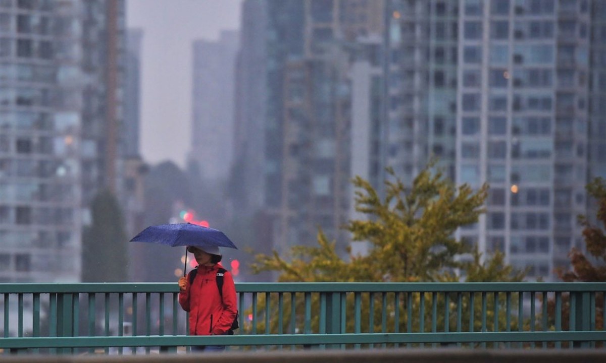
Rainfall this weekend should be modest—a moisture-laden Pacific system that looks "relatively standard" rather than extreme. "It's probably going to be relatively typical," she added.
Longer term, June looks mixed. Early-month warmth will give way to showery conditions mid-month, then warmer weather returns later in June. Confidence in the longer forecast is moderate, with significant uncertainty remaining, especially in precipitation patterns. The forecast leans toward normal to slightly drier conditions across the month, though that signal remains unclear.