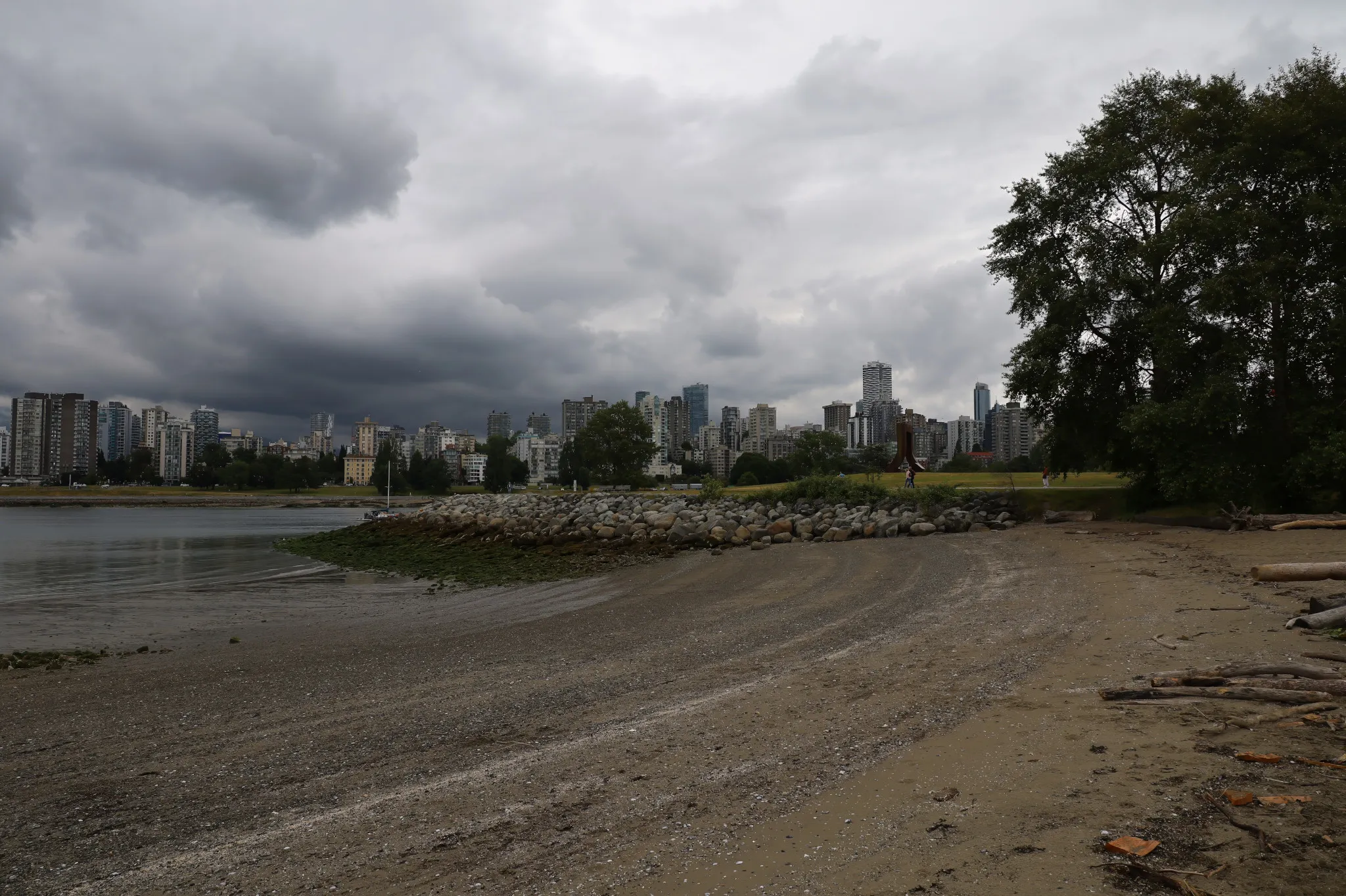
Thunderstorms and 'Juneuary' rain moving into the city
A late-spring pattern brings a thunderstorm risk Friday and unsettled conditions through next week. Temps dip to 16°C.
The day's top stories, food & events — every morning at 7. Unsubscribe anytime.
Thunderstorms could hit Vancouver Friday afternoon and evening as a cooler weather pattern settles over the region.
Environment and Climate Change Canada (ECCC) is forecasting a risk of thunderstorms starting in the late afternoon of June 5 and continuing into the evening. Temperatures will reach only 16°C with a 60 per cent chance of showers. The UV index will be moderate at 5 on both Friday and Saturday.
Meteorologist Colin Fong explained the shift as part of a typical spring-to-summer transition. "Atmospheric flow becomes more wavy," he said. "A cold low, think of it as a pocket of cooler air, drifts over the B.C. region and brings unsettled conditions. It's typical in this time of year, colloquially called Juneuary, and that's why we have slightly cooler conditions."
Friday into Saturday will see the chilliest overnight low of the next seven days, dropping to 9°C. Sunday, June 7, offers a brief break with sun and temperatures rising to 18°C — but Fong warns it may be the last clear rays for a while.
From Monday through at least Wednesday, another cold low moving from the north will bring a near-exact repeat of unsettled conditions, with scattered showers and possible thunderstorms. Daytime highs next week may reach 20°C by midweek, while overnight lows hover between 10°C and 12°C.
A classic Vancouver early summer pattern: layer up for the rain, keep sunscreen nearby just in case.